
Halsema Highway: The Veggie Run at Benguet
It was my first time travelling beyond La Trinidad Valley and into central Benguet and all the way to Mountain Province in the Cordilleras. I was excited since it is also my first time heading to Sagada, and first time travelling in one of the most scenic, highest, yet (perhaps) precarious highway in the Philippines—Halsema.

Halsema Highway’s Landmark
Halsema Highway, or also known as “Mountain Trail,” spans more or less 150 kilometers between Baguio City, Cordillera’s regional capital, and Bontoc, the provincial capital of Mountain Province. The highway was named after Baguio City’s mayor, James Halsema, who led the construction of the road that connects Baguio to Bontoc and was eventually opened in the 1930s.
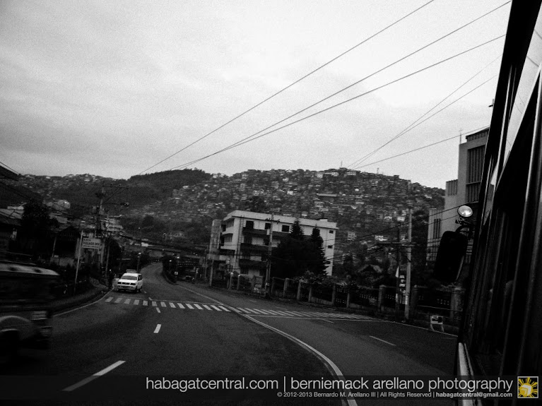
Urban Baguio
It is one of the region’s most important road systems since it does not only link towns, but also it serves as the economic artery of Cordillera’s vegetable and tourism industry.
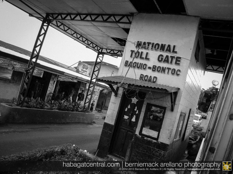
Halsema Highway Toll Gate near Tublay
Travelling between Baguio to Sagada-Bontoc, and even to nearby Banaue is already an adventure on itself. For a first timer, one can’t simply sleep on the journey when riding a bus. The mountain vistas, the ravines, the pine forests, the cool air, the people…urgh! I can’t describe the best word but, “wow!”
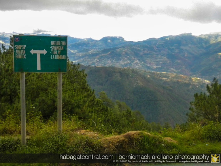
Where do we go?
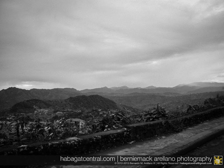
The mountains and beyond
We took an early morning bus ride from Dangwa Terminal at Baguio, as we head to Sagada that December morning. The familiar winding road going to La Trinidad seems routine for me, but when we stepped out beyond Benguet Provincial Capitol, the urban mountain beat fades away gradually amidst the pine-covered forests.
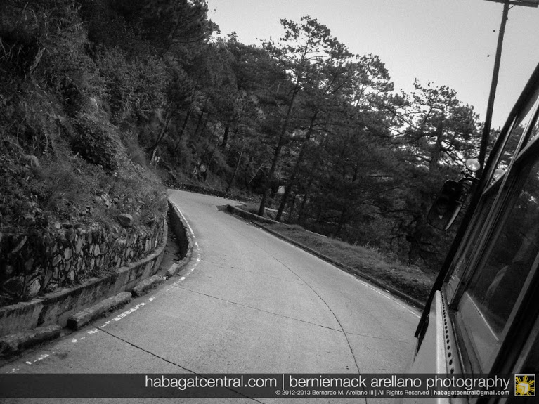
Winding through pine forests
There is a toll gate at Halsema. I guess the DPWH placed it in order to pump up funds in this high-maintenance highway. It is frequented with landslides, especially during rainy season. Towns got isolated for days, and sometimes tourists take a detour. Worse, vegetable prices in Manila and the rest of the Philippines shoot up due to lack of supply.
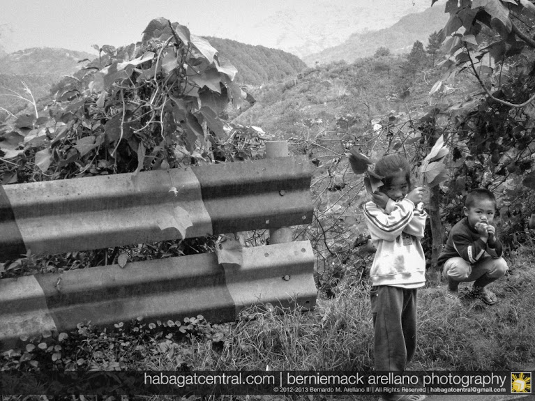
Kids on the roadside
Vegetables are being transported in this winding highway. You wouldn’t wonder. If Central Luzon you’ll see vast plantations of rice, and in Negros are sugar plantations, in Benguet it’s all about lettuce, cabbages, carrots, potatoes…you name it, and your suking grocery and palengke get their veggies up here!
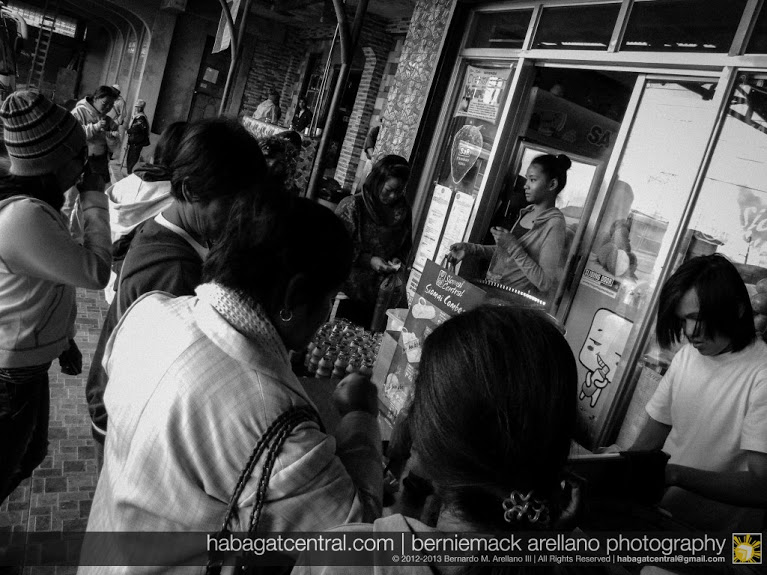
Stopover Atok
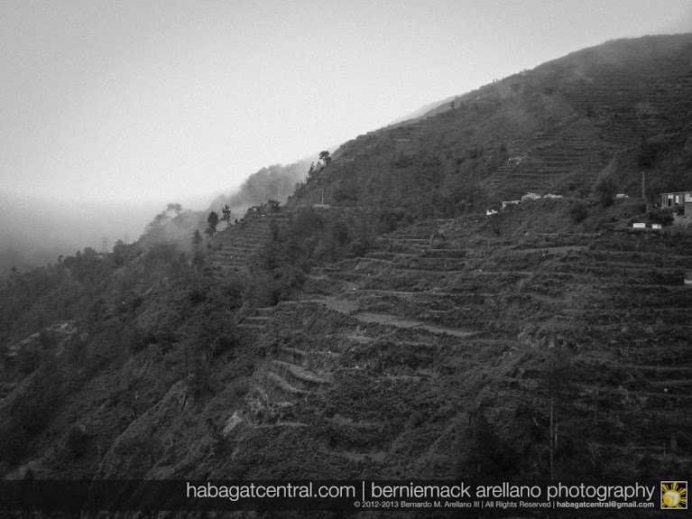
Roadside veggie terraces of Benguet
After the brief stopover at Atok town, we were at Philippine highway’s highest—7,400 feet ASL (above sea level!) And along with it is a deep view of a ravine…a long way down when your car or bus decided to become an aircraft!
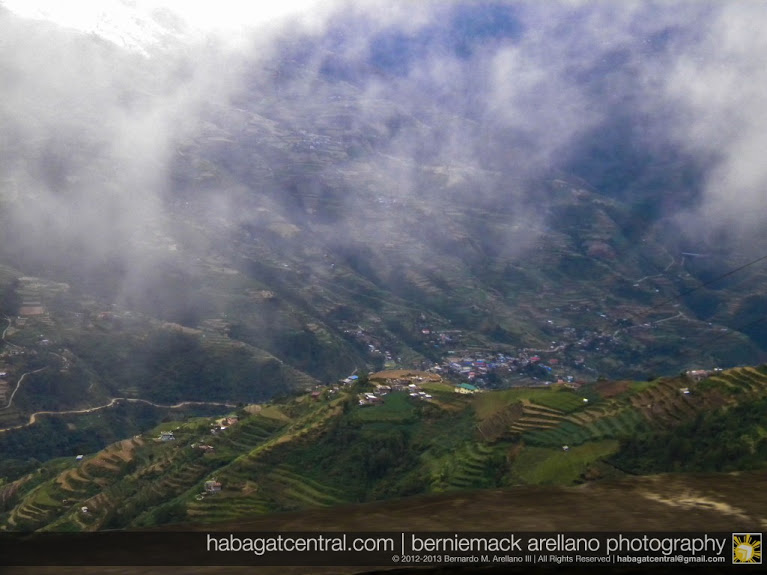
Buguias-Kabayan Veggie Terraces. This is how high Halsema can get. Your next floor is more than a thousand feet below the highway!
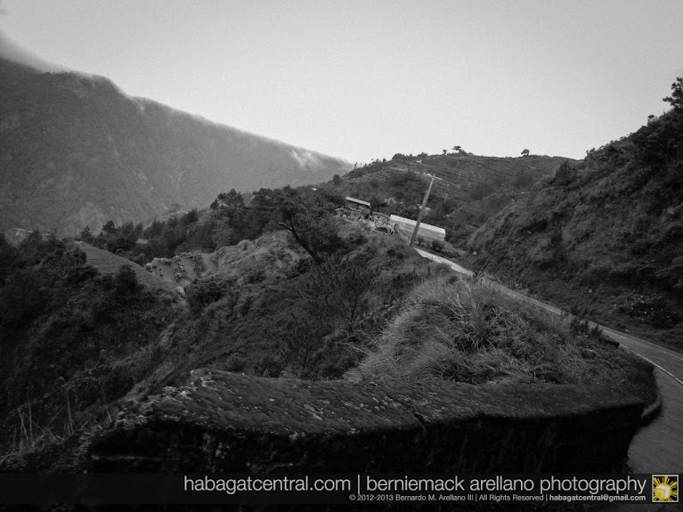
One wrong move and you’ll defy gravity…not!
Between Atok, Tublay, and Buguias, there are some portion of the road that has a mountain wall on one side, and a sharp, deep ravine on the other. And if your bus driver is driving like its 2012, hold your horses…because that’s part of the adventure!
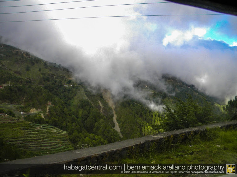
When the clouds hug the earth, Halsema is in between
Halsema does not only bring awe with Cordillera’s beauty, but also adrenaline rush—the fast and the furious way!
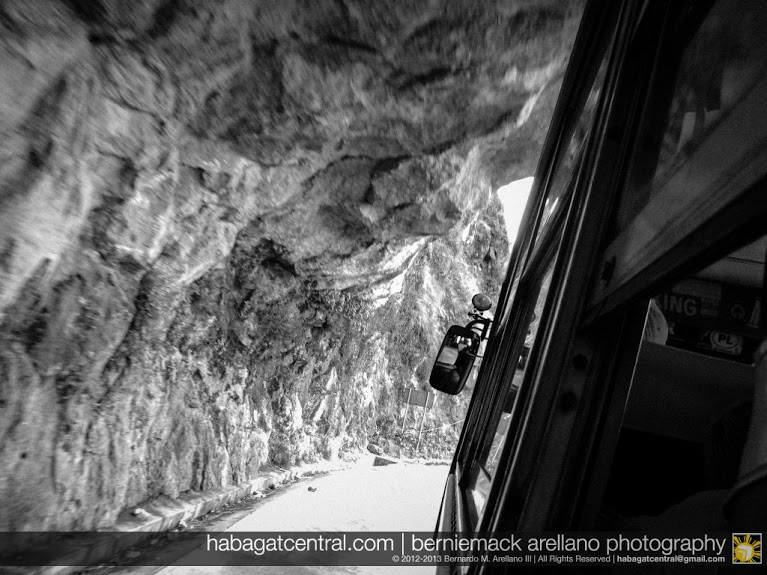
Atok’s Half Tunnel
Being high up in the mountains, the winding curves and inclined roads are not just the challenges posed when driving here. When it rains or in late afternoons, it’s low to zero visibility for you! That means, fog hugs you so tight that you’re having a hard time seeing what’s beyond you.
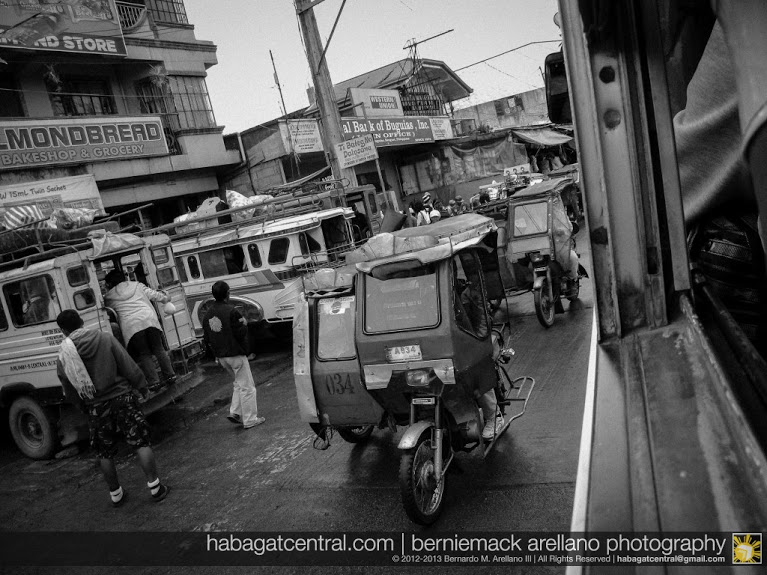
Welcome to Abatan! Bagsakan town before La Trinidad
Halfway between Baguio and Sagada-Bontoc is Abatan, the largest urban area in Benguet beyond Baguio. It’s a bagsakan center for vegetables and a crossroad between the towns of Buguias, Mankayan, and even going to Ilocandia! First time I saw tricycles in this side of the Philippines! There’s nothing much to see here though.
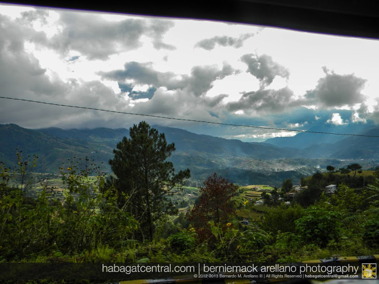
Abatan-Buguias Vegetable Valley
And as we leave towards Mountain Province, the winding Halsema ascends one more towards the boundary with one of the best views of the Vegetable Basket of the Philippines—valleys and veggie (not rice, but veggies!) terraces everywhere.
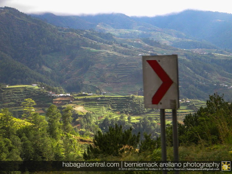
Benguet’s answer to Ifugao’s Rice Terraces…Salad Bowl of the Philippines anyone?
We aren’t finished yet. This is just Benguet’s portion of Halsema Highway. We haven’t reached Mountain Province yet.
To be continued…
Halsema Highway map
View Larger Map

-
Pinoy Adventurista
-
makati hotels
-
http://habagatcentral.com/ Berniemack Arellano