
Mapping the Philippines, the Bayanihan Way
The map has been an indispensable best friend of every explorer in the world. From ancient peoples to Dora, maps have been a companion in every journeys and travels—an important tool for motorists, tourists, and ordinary folks alike. As for me, maps have been part of my life—devoted a part of my allowance (and asking my parents back then) to purchase me maps and atlas books. By high school, I was already making my own maps, both fictional and in reality—aside from being a frustrated pilot, I was also a nerd for cartography and anything geographical.

Philippines in new Google Maps
Time passes by so fast. My collection of maps is not as updated as it was, and with the rate Metro Manila and the Philippines are developing, more roads and more areas needed to be mapped.
For travellers and tourists, especially for the first timers and are direction/geographically-challenged, having an updated map is an essential on where to go, what to take, and how to get there. While our paper maps are good for at least three to five years, businesses and road directions come and go.
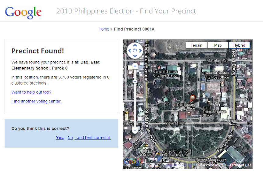
Findyourprecinct.ph
And as for state-produced maps just like what NAMRIA releases, it wasn’t that all updated.
People are asking for more updated info. Nung hinahanap nila ang Tindahan ni Aling Nena, wala na pala. Pero sabi sa mapa, andun pa daw sa kantong iyon. Ayun, hahanapin nanaman nila!
Then came the era of digital maps. The Philippines back then was backward when it comes to internet searches, geo-location, and mapping. The coastline was simply too…simple. The roads are just EDSA and the rest. Manila wasn’t even that crowded city that most Western cities are enjoying when it comes to digital maps.
It was simply too hard, I guess, to map an emerging market back then…not just yet ready.
The Philippine story of Map Making as told in the Geo-summit in Hyderabad here:
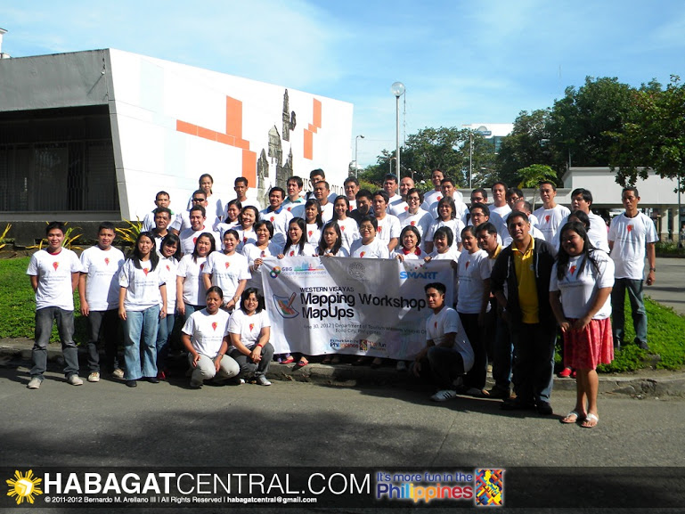
Western Visayas LGU MapUp seminar in Iloilo City, together with Department of Tourism Region 6
And then an internet giant opened mapping the Philippines in their mapping platform in 2008. Google launched MapMaker back then, which aims to provide more geo-location information by tapping the locals themselves. One of the basic tenants of the community of mappers is local knowledge, and who doesn’t know their locality more than the natives of their lands themselves, and not some foreign-owned mapping company.
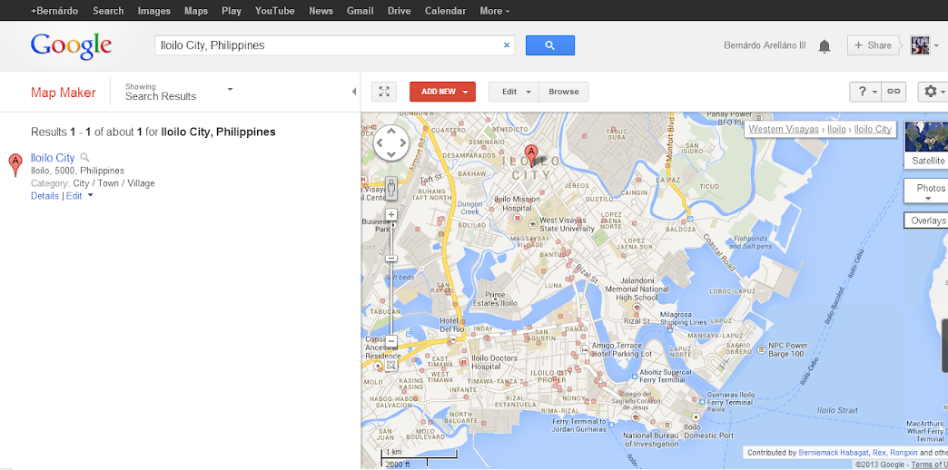
Google MapMaker
From 2008 to 2013, the once bare online Philippine map bloomed in such an overwhelming rate. Major cities flourished with roads, rural areas became linked, and businesses and locations have been plotted and updated from time to time. It wasn’t an effort from the internet giant itself, but it was the massive support of the Filipino community in bringing their beloved cities and towns to the world. Finally, Ang Tindahan ni Aling Nena can be located, more accurate road directions have been given, and trails to unexplored tourism sites have emerged.
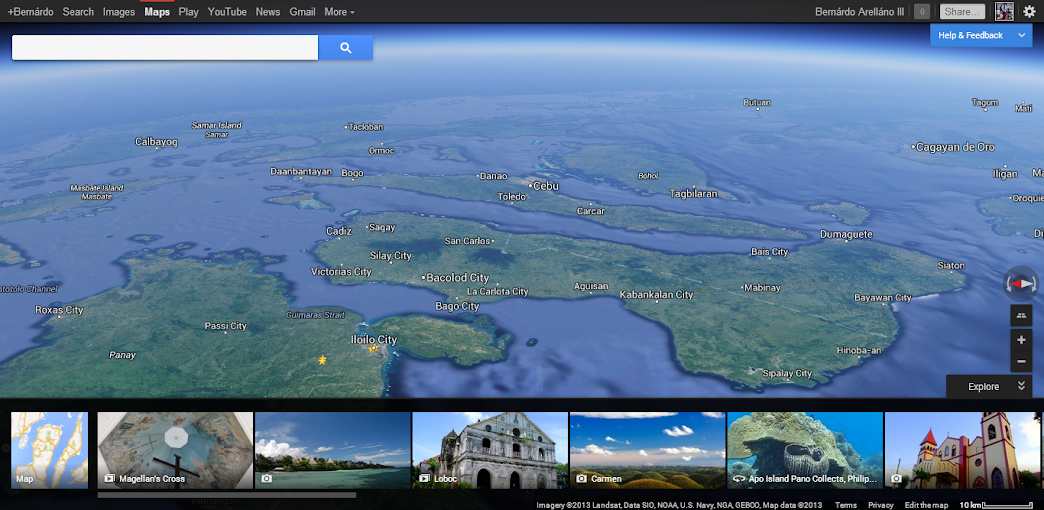
Google Earth on Maps
The advent of maps not only helped the travellers and businesses, but to a whole bunch of great stuff as well. It helped locate evacuation centres and areas of disaster during storms and earthquakes, locating precincts like the FindYourPrecinct.ph, and useful apps have sprouted such as the weather app (Project NOAH being my fave), the traffic app (MMDA app, pretty useful for motorists. I suggest taxi operators should have this), and soon a public transport app—all of these are vastly from the locals themselves!
Today, the cities are now well updated. Information is being updated by locals themselves, roads marked, and places have been found. However, there is still a long way ahead for the Philippine mapping community. (They even wanted to have StreetView available soon, hehe!) The country still has a vast potential to develop its maps and its uses, and the journey hasn’t yet ended. The Filipinos are still mapping on!
And as for us, wherever we go whenever we have a travel, we make sure these are marked on the map. It’s just a simple contribution for the passion that fuels us up.
The Filipinos still explores more, marks more, maps more—the bayanihan spirit never ceases in the era of digital age.

-
http://www.gensantos.com/ bariles